Spring 2021 Ball State Immersive Learning Projects

Student studying the back of a solar panel

Ball State faculty, students, and community partners worked together this spring on a number of immersive learning projects in and around Muncie.

Anthony Northside Neighborhood Living Quality
Faculty Mentor:  Jason Yang, Department of Geography
Community Partner:  Muncie Action Plan, Anthony Northside Neighborhood Association

Brightfield to Bright Future
Faculty Mentor: Sanglim Yoo
Community Partner: Sierra Club Hoosier Chapter

More to come!

Brightfield for Bright Future

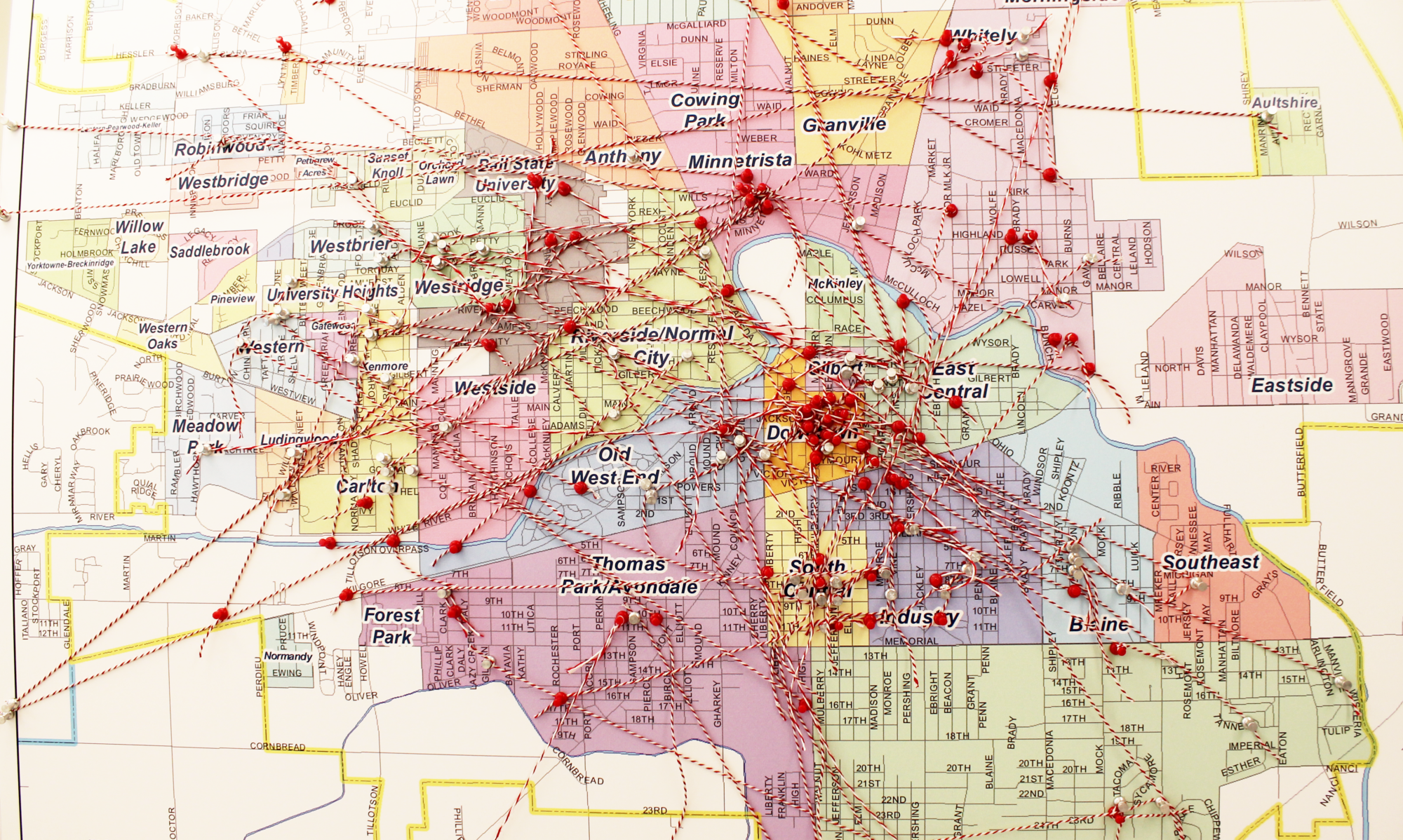
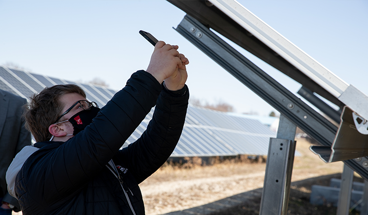
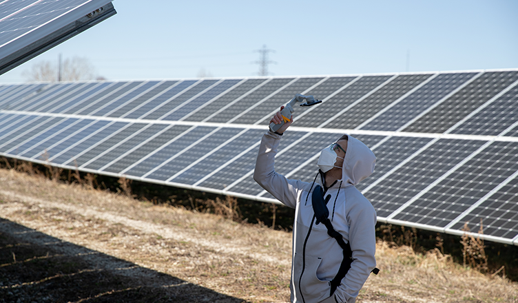
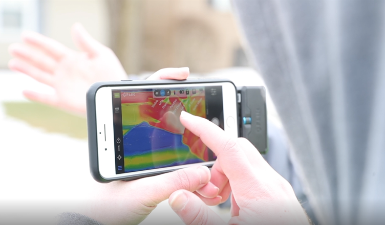
Students in PLAN 203: Regional Analysis and Design, conducted solar potential analysis for brownfields in Muncie. They applied Geographic Information Systems (GIS) to study the ownership of the brownfields, current land use and zoning ordinances, preexisting conditions, and then analyzed solar PV potentials using a publicly available PV watts tool developed by the US Department of Energy.

The project focused primarily on the reuse of brownfields for solar PV installation. Brownfields are previously developed land that former use, like the potential presence of hazardous substances, makes reuse complicated.  PLAN 203 students identified six brownfield sites in Muncie for potential solar PV installation. Together with brownfields, students also analyzed the solar PV potentials for city-owned facilities including fire stations and Muncie Sanitary District facilities. Two fire stations and two of Muncie Sanitary District’s water treatment facility sites were selected.

Explore the story map created for the project.


Faculty Mentor: Sanglim Yoo
Department:
Urban Planning
Community Partner: Sierra Club Hoosier Chapter
Students: Adam Coleson, Lauren Doppke, Michael Grossniklaus, Elise Jones, Kaelyn Leach, Enzo Lundy, Mattew Pytel, Kaylie Slate, Eric Snowden, and Christian Terrell

Anthony-Northside Neighborhood Living Quality

Student studying a thermal image on a cell phone

The goal of this project was to map the quality-of-life for Muncie neighborhoods, and specifically to map the living quality for the Anthony-Northside neighborhood using GIS and remote sensing techniques. Four general categories of living quality indicators were evaluated for each house in the neighborhood and fifteen maps were created in this project: one map for Home Insulation; two maps for Home value and Lot size; one map for Lot Greenness, ten maps for its adjacency to community amenities, and one Overall Living Quality Index map.

Home Insulation for each house was evaluated from a thermal infrared image collected by students using a FLIR One thermal camera. Home value and lot size were obtained from Zillow.com. Lot Greenness was assessed based the greenness percentage in each lot, which was derived from the USA NAIP NDVI (Normalized Difference Vegetation Index) imagery. Proximity to community amenities including Clinics, Schools, Libraries, Restaurants, USPS Mailboxes, Bus Stops, Parks, Bike Trails, Recreations, and Fire Stations were analyzed using Network Analysis in ArcGIS Pro and ArcGIS Online. The values of all indicators were scaled to categories of 1 to 5, with 1 being the lowest living quality and 5 being the highest. The Overall Living Quality Index was obtained by averaging all fourteen living quality indicators.

Explore some of the story maps created using the collected data.
Image Gallery


Faculty Mentor: Jason Yang
Department: Geography
Community Partner: Muncie Action Plan, Anthony-Northside Neighborhood Association
Course: Advance Remote Sensing – GEOG 437

VIDEO: Sanglim Yoo: Discovering New Ways to Improve Cities

Working with the FDA’s Farmers Food Box program and Purdue Extension during the pandemic, CERES Affiliated Faculty Joshua Gruver, Associate Professor of Environment, Geology, and Natural Resources, is helping Hoosiers in need by providing free food sourced from Indiana diary producers. Dr. Gruver and the Muncie Food Hub have been taking milk that would have been dumped and giving it away for free. Watch Josh’s interview on Fox 59.


VIDEO: Sanglim Yoo: Discovering New Ways to Improve Cities

Video screen shot

Ball State University Alumni magazine recapped the recent immersive learning work of CERES Affiliated Faculty Sanglim Yoo, Assistant Professor of Urban Planning.  Funded by Provost Immersive Learning grants, Dr. Yoo has led student teams in analyzing the potential of brownfields in Delaware and Grant Counties as sites for solar farms and in assessing and improving economic sustainability efforts in Muncie.  These projects also allow students to improve their skills in using socioeconomic and demographic data and the geographic information system (GIS) mapping tool.  Read more on the BSU Alumni Magazine’s website!