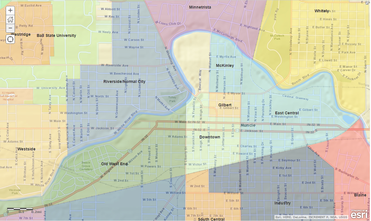
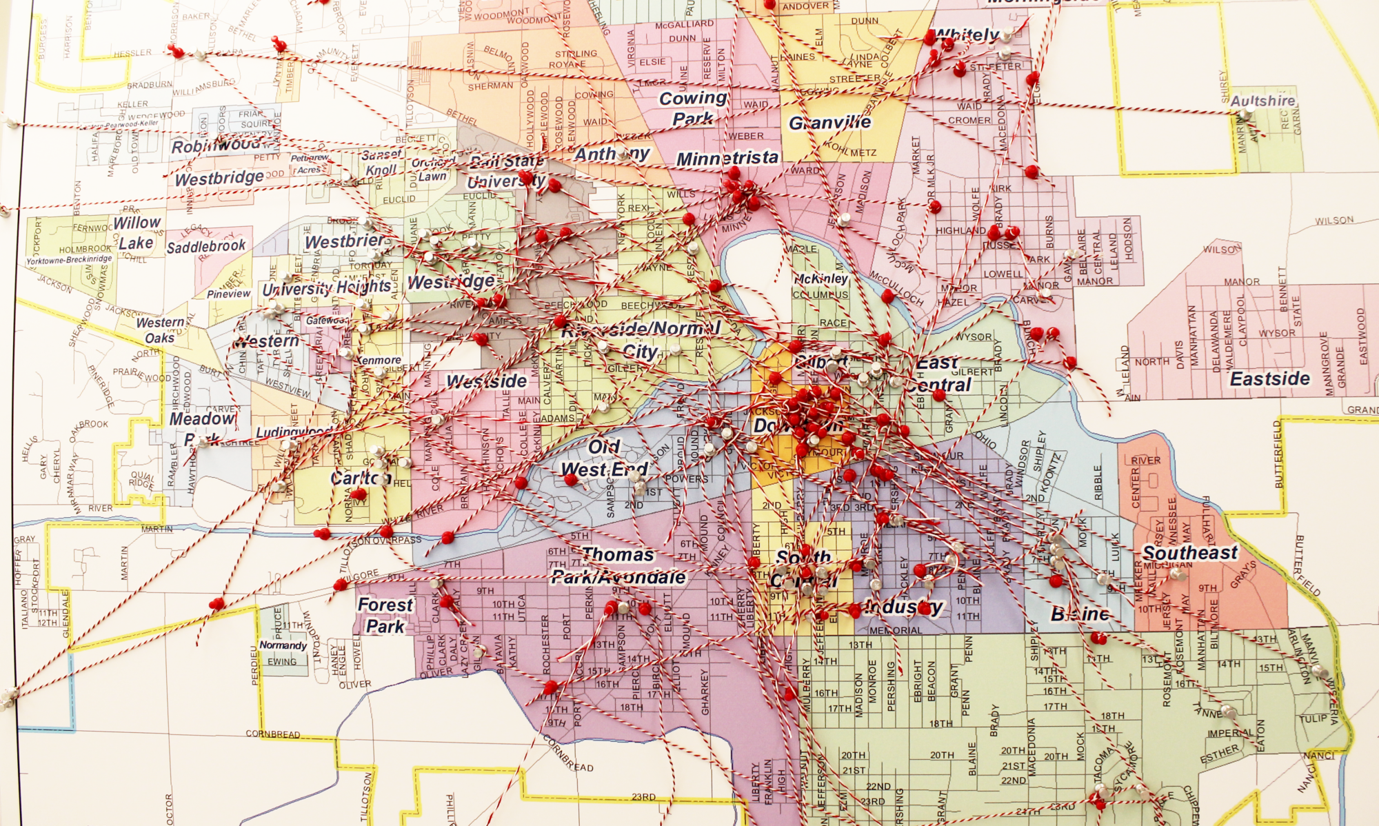
Official Boundaries

Muncie is unique in that if you are inside the city limits, you are more than likely in a neighborhood. Unlike other cities, which have one or more historic neighborhoods surrounding a downtown, Muncie is a city of neighborhoods. It has been said that its current map was devised through public comment and at the hand of the City of Muncie’s Community Development Department in the 1960’s. That the small size of the westside neighborhoods are due to their historic plats and covenants, many of which still held some power, and the vastness of Southside was due to a brother and sister that lived on opposite ends that expressed a desire to live in the same neighborhood.

Click here to view the map of Muncie’s current neighborhoods.
Muncie GIS Resources Map for Neighborhoods

Kyle Johnson, Director of the Delaware County GIS Department presented at the March 2015 Neighborhood President’s Council meeting. In response to audience interest, Kyle created an online map of Muncie that includes the ability to view the following data:

  • Properties in Multiple Tax Sales (unsold tax delinquent properties)
  • Muncie Street and Park Trees
  • Crime Density (all Crimes 2009-2014)
  • Hardest Hit Funds Demolitions Properties (round 1 & 2)
  • Parcels (links to Beacon for info)
  • Fire Hydrants
  • Bicycle Friendly Roads
  • Bike Lanes
  • Art & Culture Trail
  • Greenways & Trails
  • Muncie Historic Districts
  • Parcels with Homestead Exemptions (owner occupied)
  • Neighborhood Boundaries
  • UBHA properties (all properties brought before the Unsafe Building hearing Authority since 2012)
  • Muncie Sidewalks
  • Zoning

In order to view the above listed layers, please click on “Content” in the left hand side of the browser. You will be able to turn layers on and off by checking the individual boxes.