The Delaware County GIS Department has produced a robust collection of maps related to Muncie and Delaware County.
These include:
Elementary Districts by Neighborhood | Middle School Districts by Neighborhood
These maps show the areas served by each of Muncie’s Elementary and Middle Schools by neighborhood.
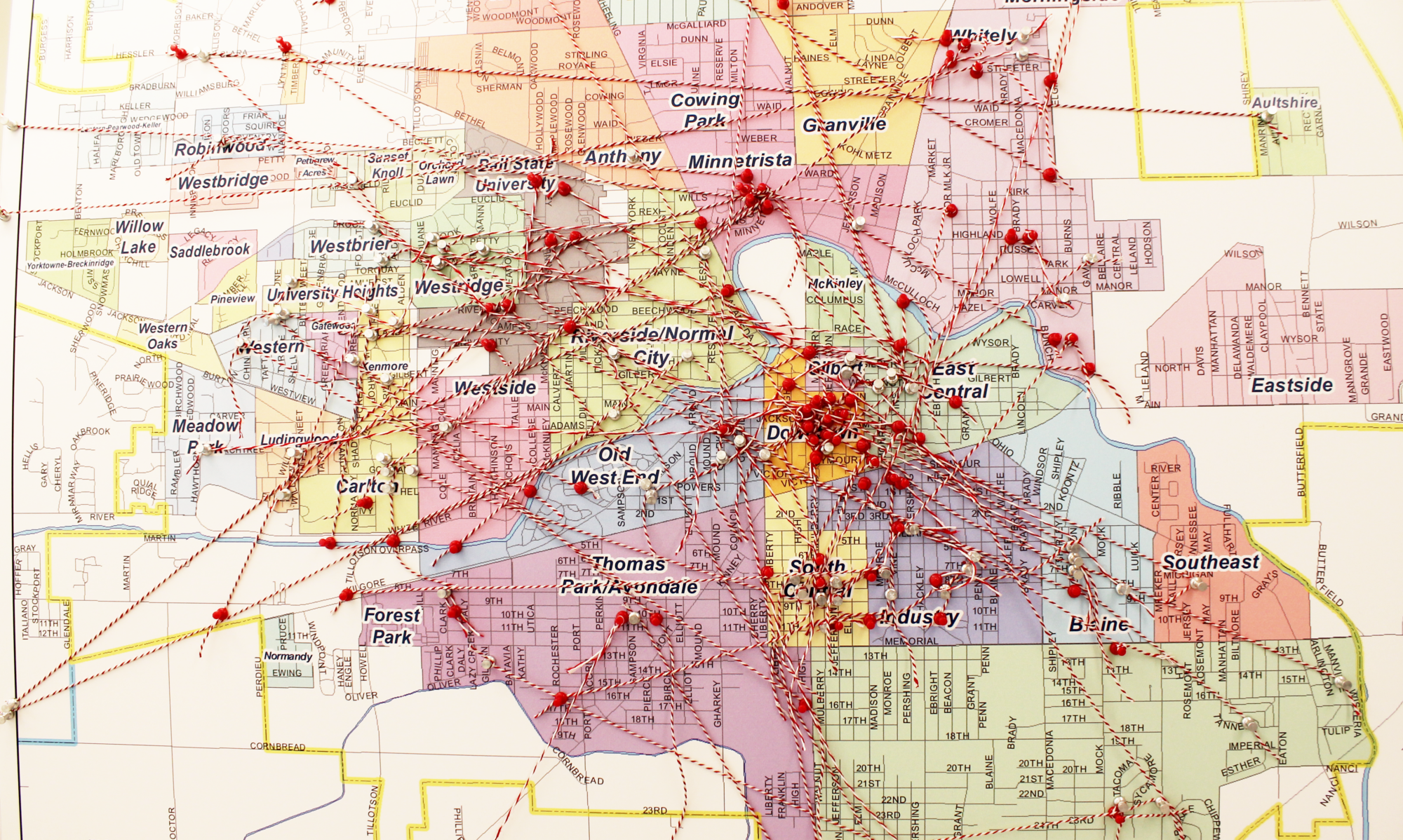
Map of Muncie Neighborhoods:
Do you know the name or boundaries of your neighborhood? Check out this neighborhood map!
Historical Survey Maps
This map application allow users to retrieve digital scans of surveys and plats.
Neighborhood Resources Map
This map, created by the Delaware County GIS Department especially for neighborhood associations, includes sixteen layers of information such as crime density, fire hydrant locations, bike lanes, greenways and trails, sidewalks, historic districts, hardest hit fund demolition properties, unsold tax delinquent properties, and zoning.
In addition, the Delaware County GIS department offers an interactive gallery of maps, including:
- Muncie Arts and Culture
- Muncie Tree Inventory
- Unsafe Buildings
- Historic Maps and Documents
- Muncie Bike Map
- City of Muncie Paving Plan
- Muncie Green Infrastructure Tour
- Outdoor Recreation Finder
- Delaware County Visitor’s Guide
- Muncie Sidewalk Map
Google Maps of the City of Muncie: