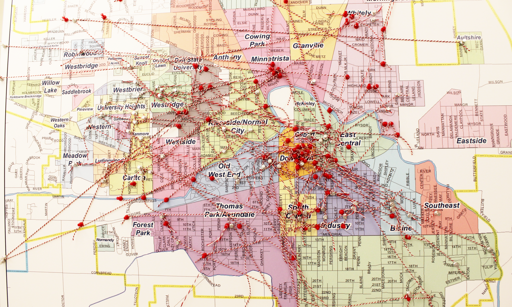
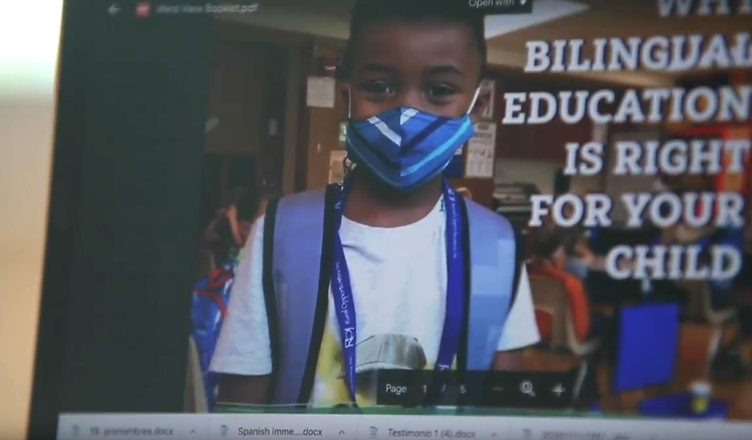
In this project Advanced Spanish students collaborated with elementary schools to promote their dual language immersion (DLI) programs. Students explored the state of bilingualism in the U.S. and the benefits of programs like these to enable students in developing proficiency in both Spanish and English, strengthening academic learning and achievement, and cultivating intercultural sensitivity. The final community products included ten-week virtual reading/mentoring sessions in Spanish for 2nd graders, design and production of promotional materials to promote the benefits of dual language immersion programs, and Spanish translations of several procedure and policy documents for DLI programs to make more materials accessible to Spanish-speaking families. Blog Post | Digital Showcase
Spring 2021 Semester
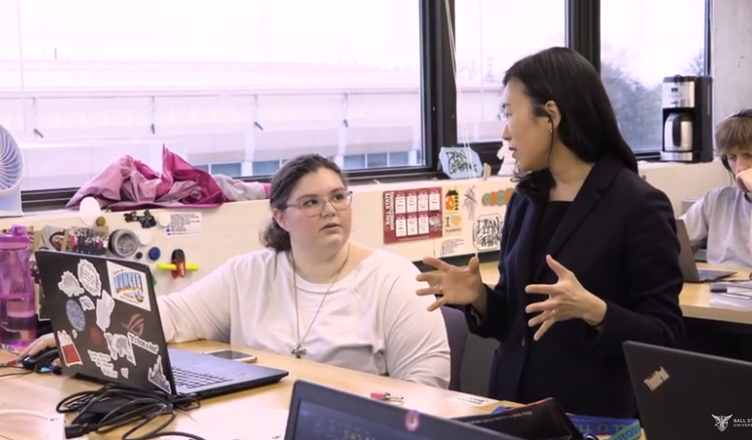
Faculty Mentor: Chin-Sook Pak
Department: Spanish
Community Partner: Muncie Community Schools
Students: Dani Allen, Rachel Armstrong, Madeline Backs, Jazmin Castillo-Soto, Bethany Elmore, Rebekah Hoffer, Amanda Huynh, Denise Jacquez, Jacob Newlin, Elizabeth Rieth, María Sanchez Cisneros, Darla Thomas, Peyton Thompson, Carl Torrence, Amy Wyse & Jerome Zirnheld
Fall 2020 Semester
Faculty Mentor: Chin-Sook Pak
Department: Spanish
Community Partners: Muncie Community Schools, West View Elementary
Students: Rachel Armstrong, Bethany Elmore, Bailey Fields, Joely Gause, Rebekah Hoffer, Denise Jacquez, Jordan Kasuboski, Cecilia Lambertson, Alexandra Martin, Justin Persinger, Maddie Ramsell, Elizabeth Rieth, Abigail Shaw, Grant Sturgis, Darla Thomas, Peyton Thompson, Jerome Zirnheld, Jenni Cruz, Edgar de Santiago, Karina de Santiago, Rosa Gonzalez, Stephanie Gutierrez, Hannah Hyde, Denise Jacquez, Lauren Lara, Diana Martinez, Daisy Mendoza, Alina Murrugarra, Ashley Navarro Rodriguez, Blanca Ortiz, Yatzari Perez-Muñoz, María Sanchez Cisneros & Isabelle Wright