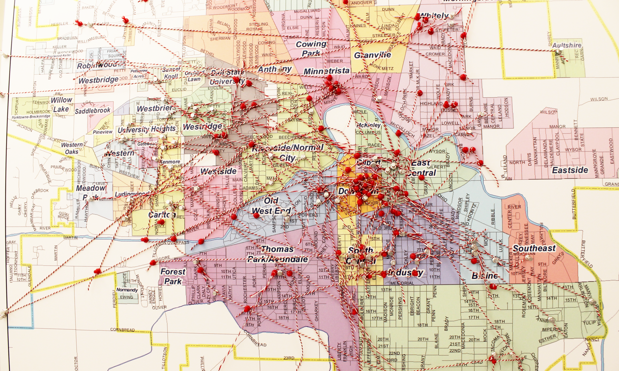

Geospatial data – data that is associated with a particular location – is an increasingly valuable asset for managing, analyzing, and displaying information related to geographic areas. Students partnered with organizations such as the Delaware County Food Council and Cardinal Weather Service to collaborate on intensive, hands-on projects that resulted in maps, charts, data, and other tools that would benefit the partners. Students identified the project objectives and acquired and prepared geospatial data for analysis. They communicated with community partners to assess progress on the project and produced high-quality products. During the project, students partnered with the Delaware County Food Council, used maps and graphics to tell an engaging story about food access, and designed a digital survey that collected local input as to where residents shop for food and how they perceive food access in the county.
Faculty Mentor: Jörn Seemann
Department: Geography
Community Partner: Muncie Visitors Bureau
Student Team: Jarrett Braden, Bailey Brooks, William Cape, Nathan Gagnon, Becca Garrett, Jacob Haas, Zach Hagemeier, Elante Ingram, Jamie Johnson, Aaron Jones, Connor Kurtz, Joseph Lopilato, Benjamin Lutz, Riley McCreary, Ben Meyer, Patrick Ollier, Rachel Pereira, Nathan Santichen, Kelby Smith, Letia Snorden, Jonathan Strang, Jordan Verdeyen, Maggie Warren, Andy Wilson, Erick Wilson, Jordan Wolfe, Clay Zeigler