Muncie’s Flood History & City Plan to Mitigate Flooding Damages
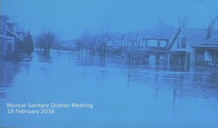
In February of this year, the Muncie Sanitary District heard a history of flooding in the City, and the two possibilities to mitigate future flood impacts, as mandated by FEMA.
Beginning in the 1880s, the City of Muncie began to be settled on high ground. Between 1888-1900, the City of Muncie grew tremendously in population and area, and even earned the title of being one of the fastest growing cities east of the Mississippi. This unparalleled growth was due in part to the gas light boom. The city grew near the White River for a number of economic and transportation reason. The downside of growing near waterways is that these areas of growth are often in the floodplain.
Considering this, it’s no surprise the 1913 Great Flood devastated both the City of Muncie and the state of Indian. During this rain event during Easter Weekend 1913, nearly 250,000 people, or about 7% of the entire state’s population, were left homeless as a result of this flood. The flood caused $25 million in damage (about $600 million in today’s dollar), and this is still the greatest recorded natural disaster in the Ohio Valley to this day. Many Hoosiers at that time called is the “flood second only to Noah’s.” Because the primary forms of communication at the time were mail and telegraph, communication between towns was halted for 24-48 hours and nearly 180 bridges throughout the state were impacted and impassable due to the flood.
In response to this flood, the City of Muncie began to dredge rivers and build levees with the intent to mitigate such a flood again. During 1937 flood events, several of these levees failed. More recently in the 1980s, the City began to work with the Federal Emergency Management Agency (FEMA) to reduce the impacts of future flooding. To satisfy this initiative, the City signed a resolution to satisfy anything that FEMA told it to do.
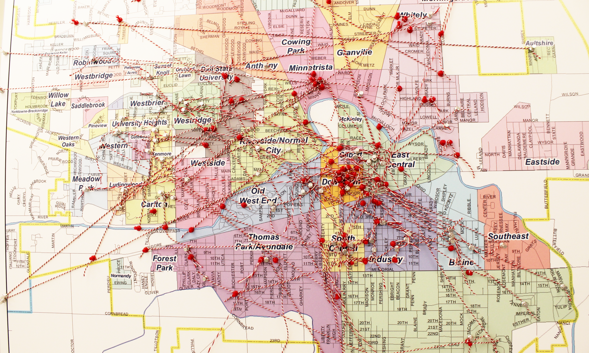
Christopher B. Burke Engineering has identified three areas of town which are not protected by levees and other flood mitigation structures. The City has two options to mitigate the effects of flooding. One option costs roughly $3.2 million and the other about $1.6 million. The second option protects commercial and industrial buildings, but the model indicates that an area to the east would still be affected. The more expensive option is more comprehensive, however, it requires additional land acquisition and raising a bridge, an option the City doesn’t believe is feasible. $85 million dollars in assessed value property falls within this area (does not include land value), including Muncie Central High School. The MSD is required by the FEMA resolution to implement one of these important projects.