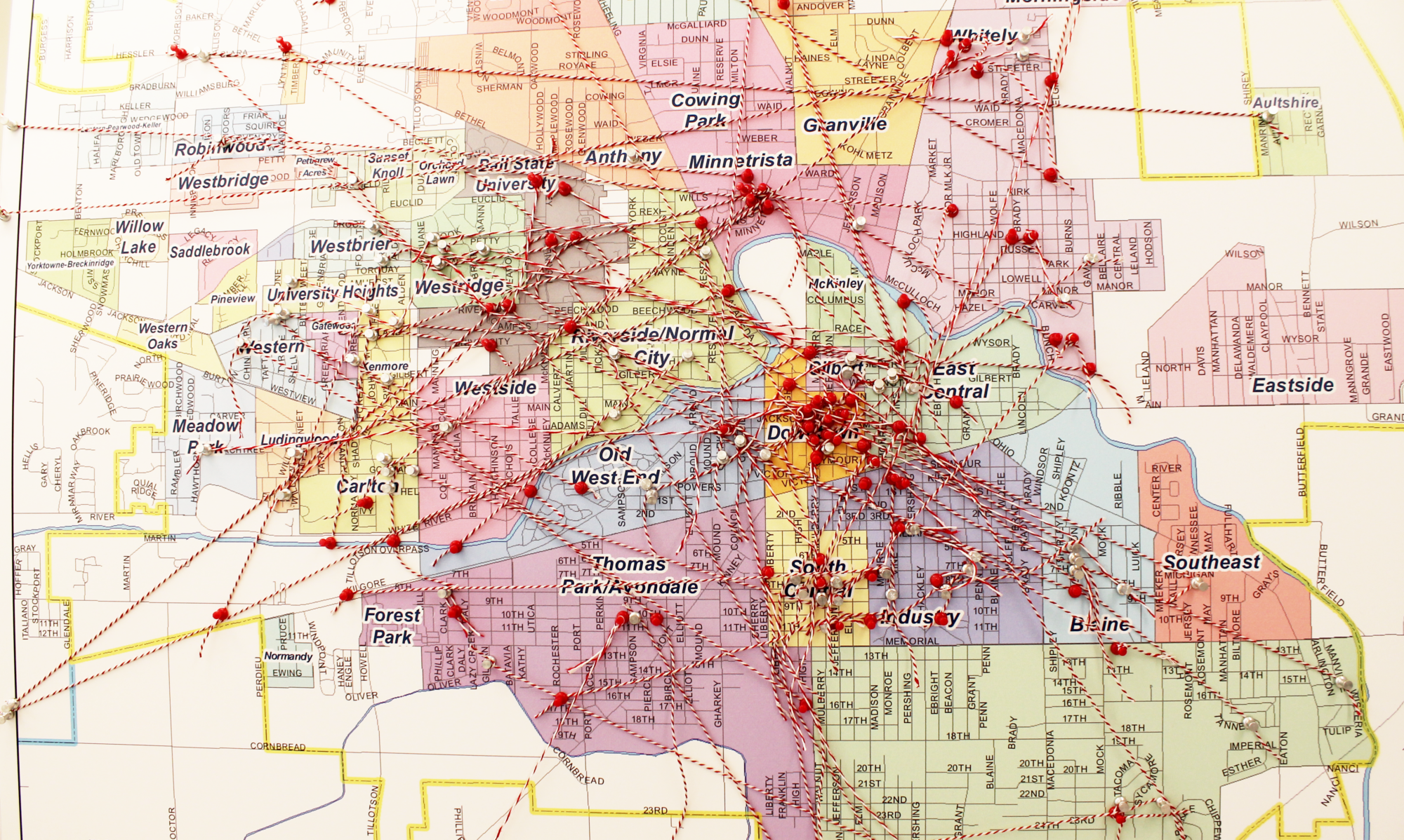
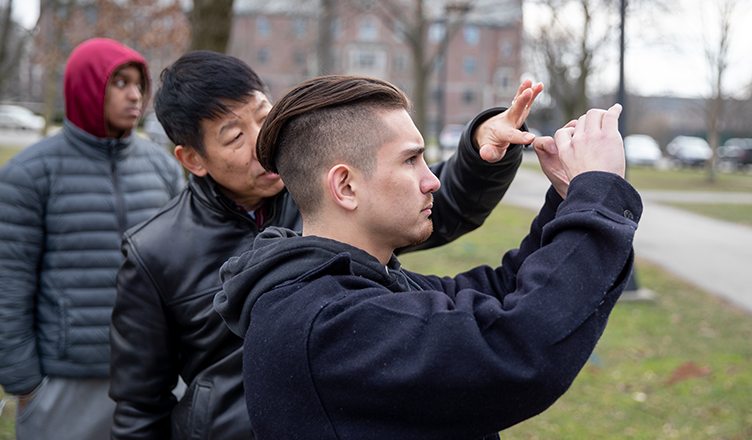
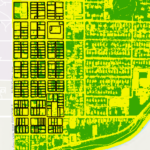
 Social well-being and quality of life can be measured using indicators like income, housing, education, health, and the physical environment of an area. In this immersive learning Building Better Neighborhoods project, students evaluated the quality-of-life for residents in the Riverside-Normal City Neighborhood in Muncie. They assessed the living quality for each housing unit in the neighborhood, including the building’s health, physical environment, and its adjacency to community amenities and hazards. Features, such as driving and walking distance to nearest grocery stores, parks, and other amenities, were derived from existing GIS layers or extracted from high-resolution aerial photos in the GIS lab at Ball State University. Additionally, the students used smartphones equipped with thermal infrared cameras to collect information on structure heat loss, road conditions, and lawn health. The students integrated the collected data into a living quality geodatabase of Muncie neighborhoods for further analysis. Explore some of the story maps created using the collected data.
Faculty Mentor: Jason Yang
Department: Geography
Community Partner: Muncie Action Plan
Student Team: William Cape, Nathan Gagnon, Becca Garrett, Elante Ingram, Aaron Jones, Connor Kurtz, Benjamin Lutz, Riley McCreary, Ben Meyer, Patrick Ollier, Nathan Santichen, Jonathan Strang, Erick Wilson, Clay Zeigler